

Living between Google maps and gut feeling in Dhaka

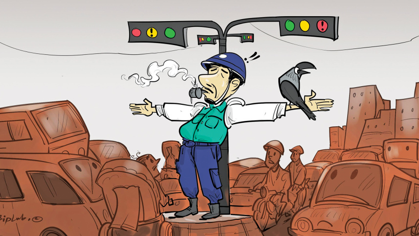
If you try to make sense of Dhaka traffic using only logic and Google Maps, you will very quickly realise that the city has no particular interest in cooperating with either of them.
For example, a destination may be just three kilometres away on the Google Map. The Map confidently shows a five-minute ride, all calm and blue, and then -- within a minute -- the entire route turns deep red, with the estimated arrival time suddenly slipping to sixty minutes by car!!!
 For all latest news, follow The Daily Star's Google News channel.
 Why?
Nobody really knows.
Perhaps a bus has broken down across two busy lanes. Perhaps two rickshaws have entered into a disagreement that the rest of the neighbourhood is now expected to live with. Perhaps a VIP is passing. Perhaps another VIP is also passing.
Or perhaps traffic is simply at capacity. We don’t know!
What we do know is Dhaka is one of the few places where a destination can be both three kilometres away and ninety minutes away at the exact same time.
Here, Google Maps may confidently claim that Bijoy Sarani is clear. But your gut feeling, after a few too many red-zone experiences, doesn’t really negotiate with that information anymore.
Because we know that Bijoy Sarani is Bijoy Sarani.
However, it’s not just Bijoy Sarani -- you might think, fine, I’ll take the Amtali shortcut to Banani, skip the flyover, skip the signals, save a few minutes.
But then you reach Mohakhali and your car freezes at a railway-signal standstill, and your precious thirty minutes are gone without any prior notice.
Khamarbari is the same story. It looks perfectly fine and blue on the map, and then out of nowhere, it turns into a complete shutdown because of some VIP movement that was absolutely not on anyone’s schedule!
Shahbagh does its own version of this entirely independently. One moment it is passable, the next, it is a complete gridlock without any warning.
So, after enough of these episodes, your gut feeling starts rejecting the blue line by default.
You learn to squeeze through residential lanes. You make three unnecessary turns through chipa golis.
Then, you see Bijoy Sarani turning red.
You celebrate being right. The satisfaction is almost spiritual. You knew it. Not through logic. Not through science. Not through data. But through trauma!
This is perhaps one of the most fascinating relationships Dhaka residents have developed with modern technology. We use Google Maps religiously, while simultaneously treating its predictions with deep suspicion.
In theory, the app knows everything. In practice, it has never spent three consecutive Eid shopping seasons in Dhaka.
It has never witnessed a perfectly functional road transform into a stationary parking lot because someone stopped to buy coconuts or something.
We, the Dhaka commuters, on the other hand, carry these memories like veterans of a long and exhausting campaign.
We have seen the blue turn red mid-journey. We have watched “5 minutes away” become “1 hour 10 minutes” without any public explanation or apology.
Now we try to avoid certain intersections at certain hours without fully understanding why.
We hear the name of a particular route and immediately experience flashbacks of roads that have wronged us in the past.
Every journey is now a contest between what Google Maps prediction and what our traumatic episode remembers.
It’s not that we don’t trust the satellites. We do. But it is conditional, cautious, and constantly under review — because we don’t really trust Dhaka traffic anymore.
Sometimes, our instincts win. Sometimes, the app wins. And sometimes -- Dhaka manages to outsmart both; on a whim it never bothers to explain.
Comments